
Putting Biodiversity on the Map
Natural history museums around the world preserve billions of specimens that tell us where plants, animals, and other organisms have been found over time. These specimens are an incredible resource for understanding biodiversity, but there is often one important piece of information missing from digital records: where, exactly, was the specimen collected?
That’s where you come in!
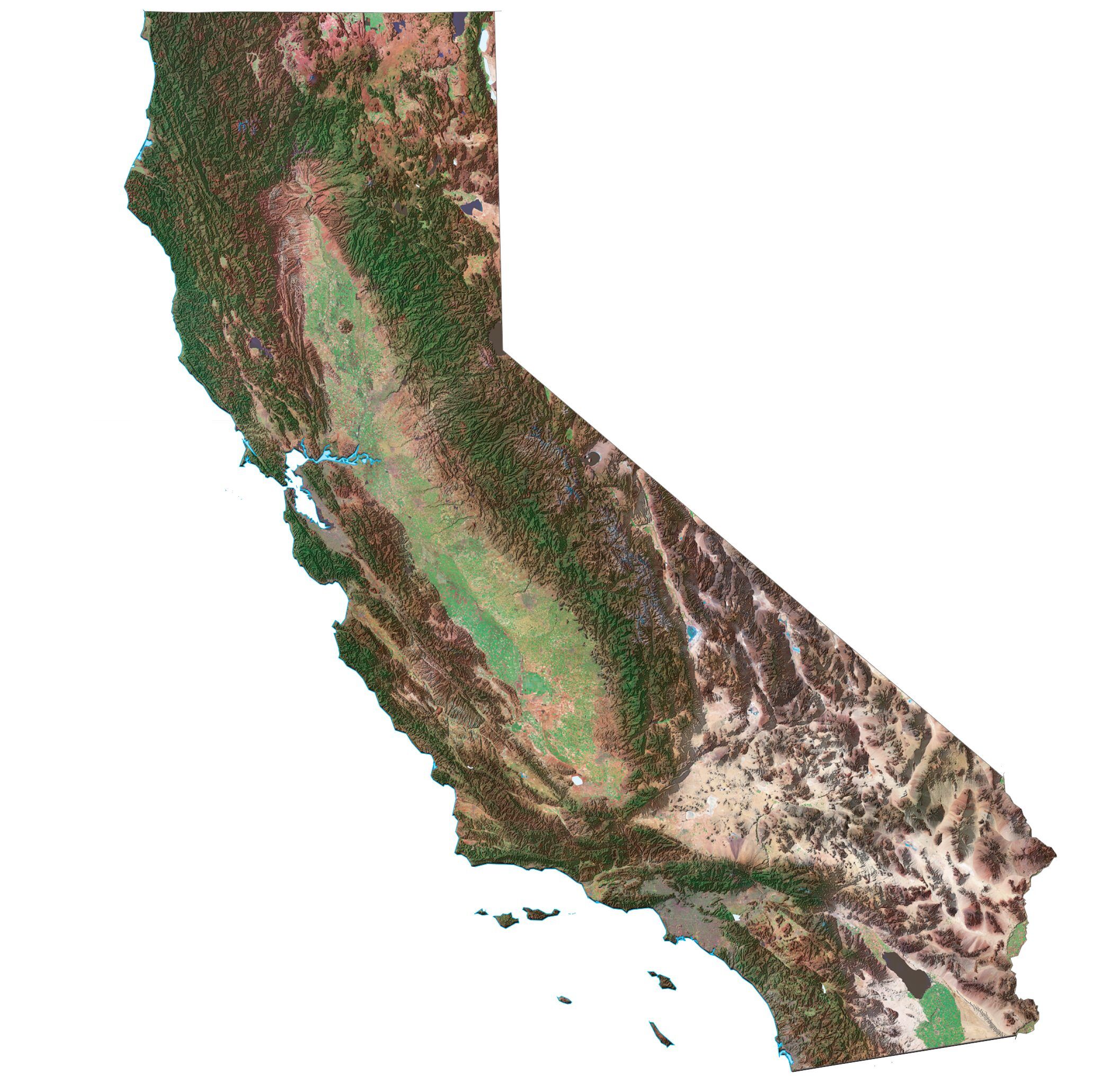
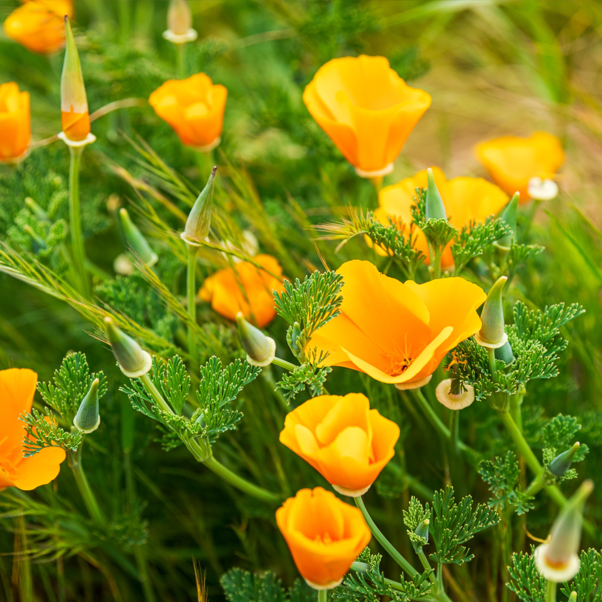
Many museum specimen records include a written description of the collection location, but turning those descriptions into geographic coordinates can be challenging. In this project, you’ll use maps to help identify the places described on specimen labels.
And there’s something new to try: this project introduces GeoDrawing, a brand new Zooniverse task developed specifically for this project. This is the first time GeoDrawing is being launched publicly, giving you an opportunity to try out a new way of working with geographic information on Zooniverse.
This process is called georeferencing, and your contributions will help transform written locality information into useful geographic data. These data can be used to study species distributions, environmental change, biodiversity, and conservation. Your work will also help make museum collections more useful and accessible to people around the world.
Interested in learning more about georeferencing? We’ll be offering a Georeferencing Museum Specimens training October 8–11, with an introduction to georeferencing, geographic concepts, standards, and hands-on exercises. Learn more and sign up for the training. https://georeferencing.org/training/2026-10-NfN/
Every specimen has a story, but without a location, part of that story is missing. Help us put biodiversity on the map!
Join the project:
https://www.zooniverse.org/projects/md68135/notes-from-nature-putting-biodiversity-on-the-map

